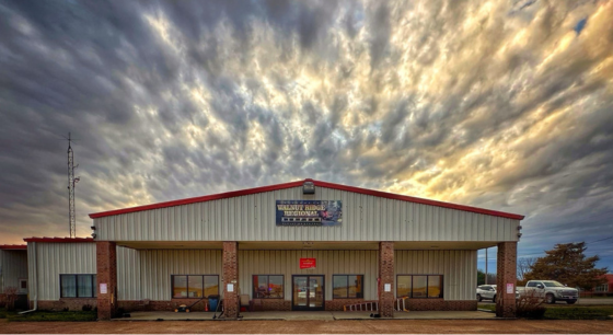
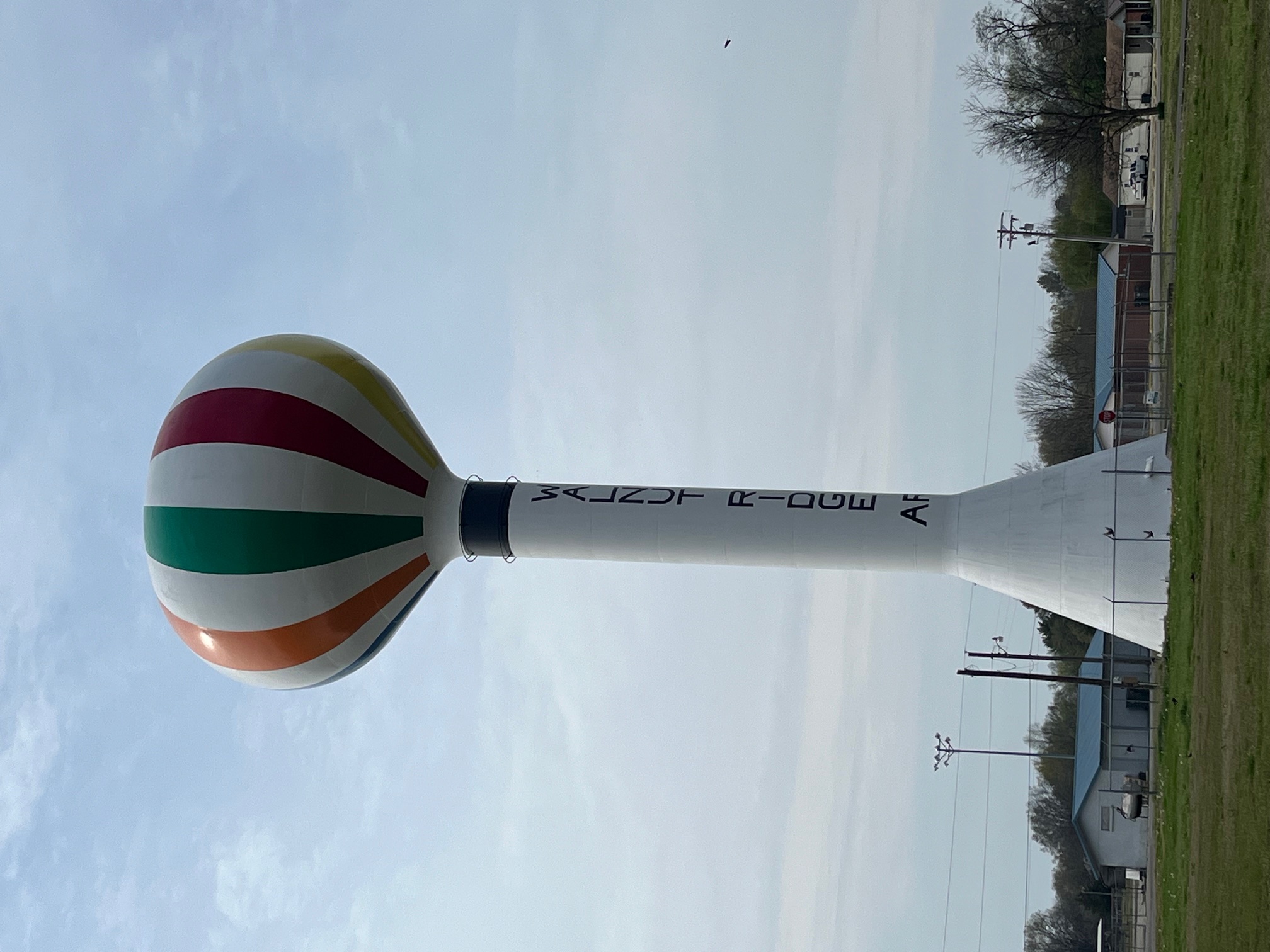
Walnut Ridge Regional Airport
11 Sky Watch, Walnut Ridge, Arkansas 72476
Telephone: (870) 886-5432 – Fax: (870) 886-2750
Stacy Hoggard~Airport Manager
Walnut Ridge Regional Airport is seven days a week for your service. and phones are answered 24 hours a day. To obtain service at night, call 870-886-5432 or 870-637-2271. To call ahead of time or to reach the airport's main telephone number for airport fuel service and information: (870) 886-5432.
Number of Runways: 3, Land Area Covered By Airport: 1800 acres,
FUEL
Fueling hours: Fuel Counter is open 7 days a week from 8:00 am – 5:00 pm, 364 days a year. Before 8:00 am or After 5:00 pm Call 870-886-5432 and a fuel person will be at the counter waiting for you. We are closed on Christmas Day; however there will be someone on call should you need assistance.
Beta Technologies Electric Aircraft Charging Station Available
Electric Car Charging Station Available
Telephone answered 24 hours a day. Airport Manager 870-886-5432 or 870-637-2271.
Please allow 30 to 45 minutes for time to airport. $25.00 after-hour call-out fee if prior arrangements are not made.
Fuel Prices are guaranteed on AirNav.
Aircraft Maintenance Facility Available – Pilots Ally (615) 924-2975 or (501) 617-1220
We thank you for your business.
We offer free coffee, water, popcorn and ice cream to all pilots and their families.
Discounts: Veterans, Cargo flights, Medical, CAP, EAA members, WINGS members and Flight Schools receive a discount before sales tax. Also show us your military ID for a discount.
We have 3 fuel trucks, a 2200 gallon and a 5000 gallon Jet/A fuel truck and a 1000 gallon 100LL truck. We stock 12,000 gallons of Jet/A fuel and 10,000 gallons of 100LL. We accept CAA, Government Air Card and Titan contract fuel for Jet/A fuel. We are inspected yearly by Quality Control Inspectors from Titan. Full Service and Self-Serve is available for 100LL and JetA+.
AIRPORT COMMISSION
Don Cavenaugh - Airport Chairman
Adam Davis
Brett Cooper
Gary Kearby
Teague Phillips
Ron Ingram
Michael (Zip) Wallin
FLIGHT INFORMATION
Airport Operations
Airport use: Open to the public
Activation date: 10/1943
Sectional chart: MEMPHIS
Control tower: no
ARTCC: MEMPHIS CENTER
**Pilots are able to contact the Memphis Center while on the ground for clearances. 120.075
FSS: JONESBORO FLIGHT SERVICE STATION
NOTAMs facility: ARG (NOTAM-D service available)
Attendance: CONTINUOUS
IF ARPT ATTENDANT NOT AVBL, CALL 870-886-5432.
Wind indicator: lighted
Segmented circle: yes
Lights: DUSK-DAWN. ACTVT MIRL RY 04/22 AND ODALS RY 18 – CTAF.
Beacon: white-green (lighted land airport)
Operates sunset to sunrise.
Airport Communications
CTAF/UNICOM: 122.8
WX AWOS-3: 126.525 (870-886-2537)
APCH/DEP SVC PROVIDED BY MEMPHIS ARTCC ON FREQS 120.075/289.4 (WALNUT RIDGE RCAG).
Nearby radio navigation aids
VOR radial/distance VOR name Freq Var
ARGr054/1.6 WALNUT RIDGE VORTAC 114.50 04E
JBRr311/22.2 JONESBORO VOR/DME 108.60 02E
NDB name Hdg/Dist Freq Var ID
LAWRENCE COUNTY 180/4.9 227 01E TNZ – -. –..
PARAGOULD 279/20.4 383 01E PGR .–. –. .-.
NEWPORT 019/31.5 400 04E EWP . .– .–.
ASH FLAT 093/33.2 344 03E AJX .- .— -..-
Airport Services
Fuel available: 100LL JET-A
FULL SERVICE FUEL AVAILABLE DURING OPERATING HOURS
SELF SVC FUEL AVBL 24 HRS WITH CREDIT CARD.
Parking: hangars and tiedowns
Airframe service: MAJOR
Powerplant service: MAJOR
Bottled oxygen: NONE
Bulk oxygen: NONE
Runway Information
Runway 4/22
- Dimensions: 6001 x 150 ft. / 1829 x 46 m
- Surface: asphalt, in good condition
- Weight bearing capacity: Single wheel: 40.0
- Double wheel: 60.0
- Double tandem: 110.0
- Runway edge lights: medium intensity
Runway 4
- Latitude: 36-06.813822N
- Longitude: 090-56.019792W
- Elevation: 279.1 ft.
- Traffic pattern: left
- Runway heading: 044 magnetic, 045 true
- Markings: Nonprecision, in good condition
- Touchdown point: yes, no lights
Runway 22
- Latitude: 36-07.512575N
- Longitude: 090-55.157108W
- Elevation: 272.9 ft.
- Traffic pattern: left
- Runway heading: 224 magnetic, 225 true
- Markings: Nonprecision, in good condition
- Touchdown point: yes, no lights
Runway 13/31
- Dimensions: 5003 x 150 ft. / 1525 x 46 m
- Surface: concrete, in fair condition
- Weight bearing capacity: Single wheel: 40.0
- Double wheel: 60.0
- Double tandem: 110.0
Runway 13
- Latitude: 36-08.078557N
- Longitude: 090-55.875382W
- Elevation: 272.2 ft.
- Traffic pattern: left
- Runway heading: 134 magnetic, 135 true
- Markings: basic, in good condition
- Touchdown point: yes, no lights
- Obstructions: 15 ft. road, 600 ft. from runway, 26:1 slope to clear
Runway 31
- Latitude: 36-07.495207N
- Longitude: 090-55.157023W
- Elevation: 272.8 ft.
- Traffic pattern: left
- Runway heading: 314 magnetic, 315 true
- Markings: basic, in good condition
- Touchdown point: yes, no lights
- Obstructions: 1 ft. berm, 220 ft. from runway, 20:1 slope to clear
Runway 18/36
- Dimensions: 5001 x 150 ft./ 1524 x 46 m
- Surface: concrete, in fair condition
- Weight bearing capacity: Single wheel: 40.0
- Double wheel: 60.0
- Double tandem: 110.0
- Runway edge lights: medium intensity
Runway 18
- Latitude: 36-07.964087N
- Longitude: 090-55.396178W
- Elevation: 273.3 ft.
- Traffic pattern: left
- Runway heading: 179 magnetic, 180 true
- Markings: Precision, in good condition
- Approach lights: ODALS:omnidirectional approach lighting system
- Runway end identifier lights: Yes
- Touchdown point: Yes, no lights
- Instrument approach: LOCALIZER
- Obstructions: 29 ft. tree, 1150 ft. from runway, 600 ft. right of centerline, 32:1 slope to clear
Runway 36
- Latitude:36-07.139857N
- Longitude:090-55.396835W
- Elevation:272.2 ft.
- Traffic pattern:left
- Runway heading: 1359 magnetic, 000 true
- Markings:precision, in good condition
- Touchdown point:yes, no lights
- Instrument approach:LOCALIZER
- Obstructions:none

